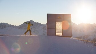
Fisser Joch – Mittlerer Sattelkopf – Komperdell, „Adlerweg“
Starting point: Schönjochbahn mountain terminal
Character: Beautiful and extremely rewarding trails at the sunny south side of the mountain – Zwölferkopf and Sattelkopf (marmot region).
Walking time: 2,5 hours
Description: From the south side of the cablecar station (F087) head downhill somewhat towards a small flat spot on the slope from where the trail leads over the meadows of the Wonnealm (F092a) in an almost flat level to the Mittleren Sattelkopf (S250, mountain terminal). Here the Sattelsteig path no. 11 crosses the path, on which you descend to the Möseralm (F113) and to Fiss (F129) or to the Beutelkopf (S044) and to Serfaus. Continue to the Komperdell (S103) on the slope, slightly descending, over the moist Komperdellalpe (S248) and the still visible Wasserwaal ditch. At the crossing with the Brunnenjochsteig path (S247) go left down to the Komperdell (S103).


