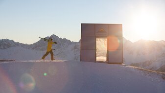
Ascherhütte via main hiking route – Furglerjoch (2,748 m)
Starting point: Komperdell top station
Character: beautiful mountain tour on narrow ascent trail with fixed iron cables in the difficult spots
Walking time: 5 hours
Description: From the Komperdell top station (S201) via main hiking route no. 702 (trail 21) to the Furglersee lake (S211) and further on to the Furglerjoch (3 hours, S212). From here descend on the Koblenzerweg trail first into the Kaltenbachtal valley, then northwards into the rock wall of the Blankakopf-Medriggrat (with fixed iron cables). Go over the Medrigjoch (2,570 m) and then over serpentines via the Kübelgrubengrund to the Ascherhütte (2 hrs). Return trip: 2 hours to the Furglerjoch or 4 hours to the Komperdell.


