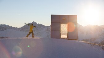
Möseralm – Oberer Sattelkopf via the Sattelsteig trail
Starting point: Schönjochbahn valley terminal
Character: The direct ascent from Fiss via the Möseralm to the Oberer Sattelkopf, the Fiss summit cross. To the Möseralm, the trail is partly asphalted, a narrow vehicle track, at the end it is a mountain trail which in many serpentines becomes steeper and steeper, with lovely views as it winds its way to the summit.
Walking time: Möseralm 1 hour, Obere Sattelkopf 3 hours
Description: Follow the vehicle track (F129, Jochweg trail), along wonderful mountain meadows to the Lahnewald forest (F118), then go straight ahead to the Möseralm (F113). Now ascend directly in serpentine curves over steep mountain pastures on the broad ridge between the Unteren (S251) and Mittleren Sattelkopf (S250), where the trail to the Komperdell (S103) also turns off. Here turn right on the wide ski slope (F111), but soon you leave it to the left, following the trail to the cable car station at the Mittlerer Sattelkopf (S250). The last steeper part in the terrain has short serpentines, up to the summit 2,596 m (F110, wooden summit cross and summit book to sign in).


